High-quality forest data is out there.
Let's unlock its value together.
Most 3D forest data is scattered and unused. We make it visible, connected, and valuable — for science, AI, and sustainability.
A global archive for 3D forest data
3Dtrees.earth is a collaborative platform where data holders can upload, visualize, and share high-quality 3D forest data — and receive predictive insights in return.
Free data hosting and DOI assignment
Host your 3D scans with reliable storage, assign persistent identifiers, and ensure scientific citability.
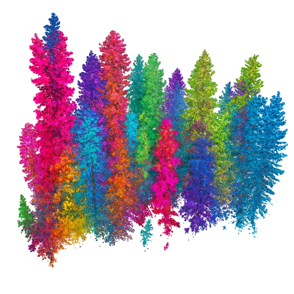
Web-based visualization
Use an intuitive, browser-based viewer to explore your point clouds — no software installation needed.
Predictive insights
Receive model-based estimates of tree species, height, volume, crown shape and more.
Build the global forest reference
Your contribution helps build a high-quality, open dataset for AI model training and forest monitoring.
Get credit and visibility
Your data gets acknowledged and can be cited by others — increasing your impact.
Quality assurance
Our validation tools help ensure your data meets scientific standards and is ready for analysis.
Growing Data Collection
Explore our growing collection of 3D forest data from around the world. Each point represents a dataset contributed by researchers and organizations.
Loading data...
3dTrees.earth is actively evolving. The datasets currently displayed are just a fraction of what we have already collected — and many more are on the way.
Roadmap
Our journey to build the most comprehensive 3D forest data platform
Upcoming
Base Application Features
World map with polygon for every dataset, upload form for LAS files with metadata, and basic visualization of point cloud renderings.
Publishing Features
DOI for datasets, author lists, and comprehensive dataset descriptions for proper scientific attribution.
Processing Features
Single tree instance segmentation, semantic segmentation (Ground/Leave/Wood), species classification, and inventory metrics.
Advanced Visualization
Interactive point cloud viewer and immersive walk-through visualization (XRFF) capabilities.
Labeling Tool & Custom AI Workflows
Smart labeling tools for point clouds, presets for species classification, and custom AI training capabilities.
Completed
Launch of Public Landing Page
Created a central hub for the 3DTrees.earth initiative to make our vision public and begin building community awareness.
Join the 3Dtrees Community
Connect with researchers and contribute to the future of forest monitoring and conservation
Get in Contact
Have questions about contributing data or joining our research network? Our team is ready to help.
Join the Waitlist
Be the first to know when we launch new features and get early access to the platform.
Who's Behind 3dTrees.earth?
We’re a team of forest scientists, data engineers, and conservationists with a shared vision: to turn isolated 3D scans into a powerful resource for global forest understanding.
Our Experience
Based on the experience of building deadtrees.earth (AI-driven forest health mapping), we've created a platform that addresses the unique challenges of 3D forest data management and analysis.
Our Mission
We're committed to creating an open, collaborative ecosystem for 3D forest data that accelerates scientific discovery, improves forest monitoring, and supports sustainable forest management worldwide.
Backed by respected partners


Frequently Asked Questions
Get answers to common questions about 3DTrees.earth